Excitech has become Symetri
In January 2020, Excitech was acquired by Addnode Group, the owner of Symetri, Europe’s leading provider of software and services for design and engineering activities.
Excitech has now become Symetri, operating as one company since the beginning of January 2021. Please rest assured it is business as usual for us and your service experience will not be impacted.
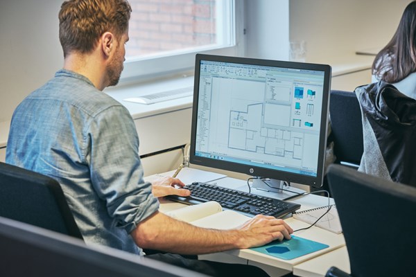
Civil 3D Essentials
Benefits of Civil 3D Training
Complete more civil work in less time with greater accuracy
Improve your project collaboration and workflow
Maximise the impact of your design in 3D
Expected outcome
As a result of attending this training you will be able to organize project data, work with points, create and analyze surfaces, model road corridors, create parcel layouts, perform grading and volume calculation tasks, create assemblies and corridors, calculate corridor volumes, create pipe networks and basic junctions.
After completing the course, you can log into your personal student account and download your official Autodesk Certificate of Completion.
Learn more about Virtual Training at Symetri.
Training at Symetri
In this video, Enrique Barriuso, takes you on a tour of Symetri's extensive range of infrastructure training courses designed for aspiring and seasoned professionals in the world of CAD design.
Book nowTraining Enquires
Please contact us on 0345 370 1444 or fill in the form below to speak to one of our training specialists who can answer any questions you may have or to register your interest.
Upcoming course dates
Jun
Online Training - 3 days
Course administrator
Sonya Scott
Date
24 June 2024 09:30 - 16:30
25 June 2024 09:30 - 16:30
26 June 2024 09:30 - 16:30
Price
£885
Course booking was successful.
You will receive a booking confirmation to the email you provided. Welcome!